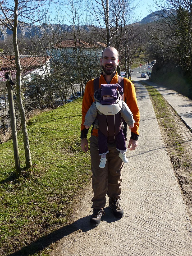
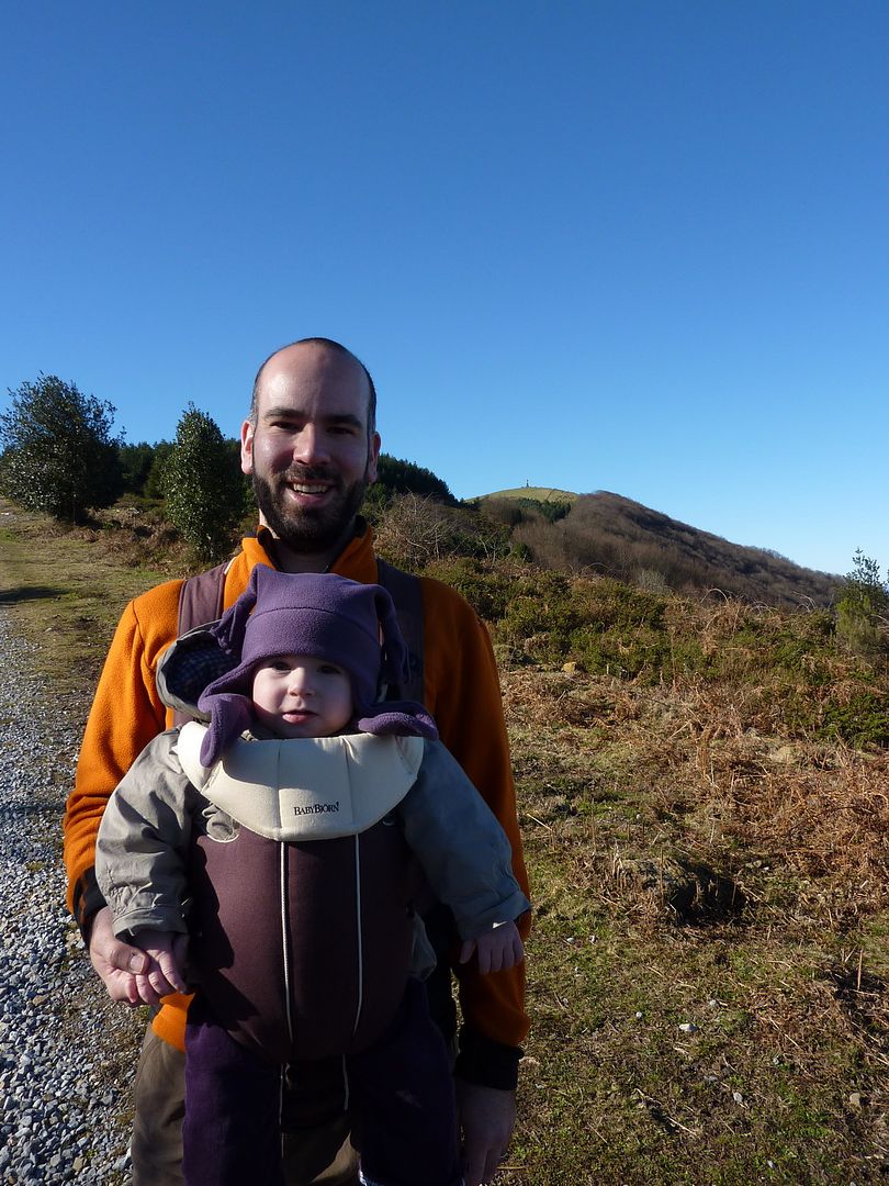
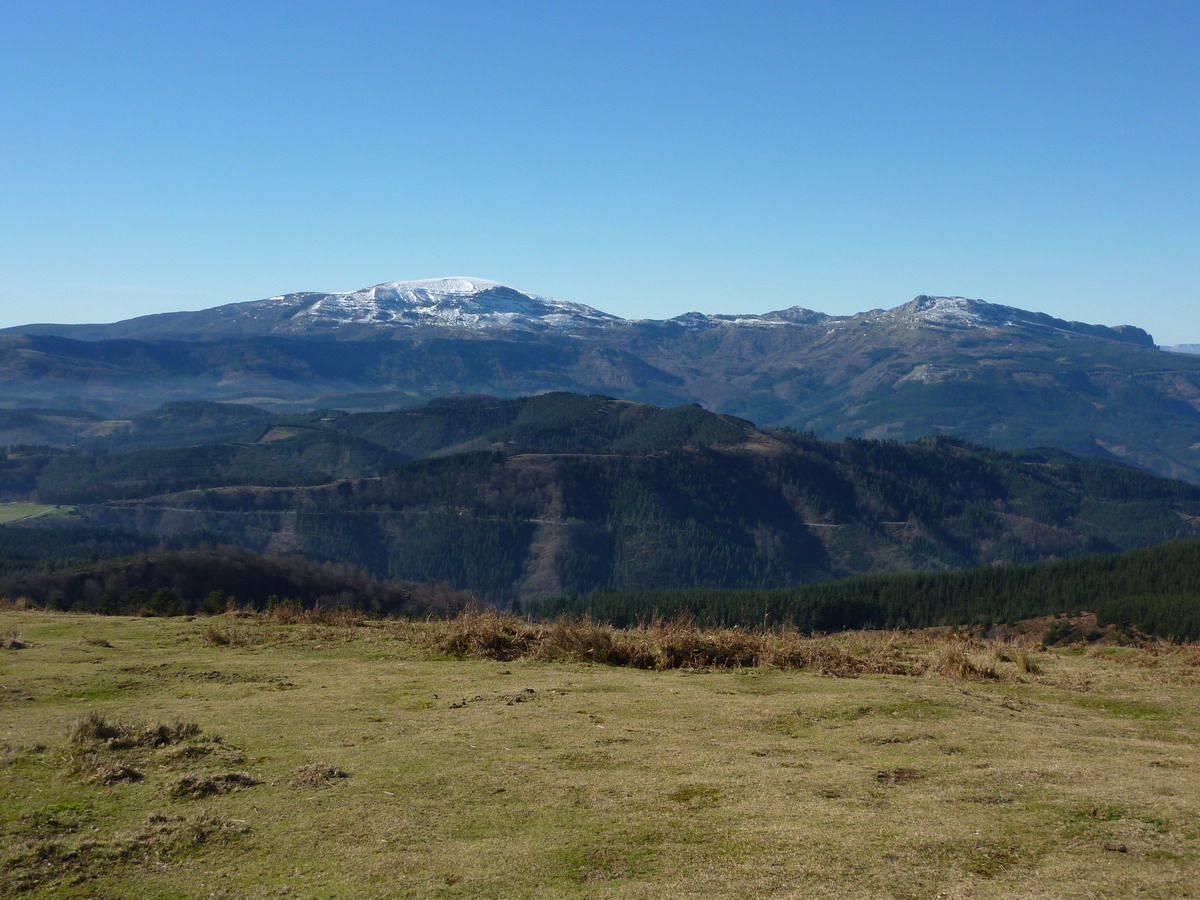
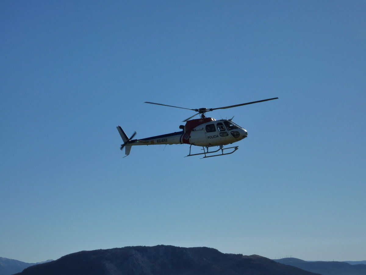
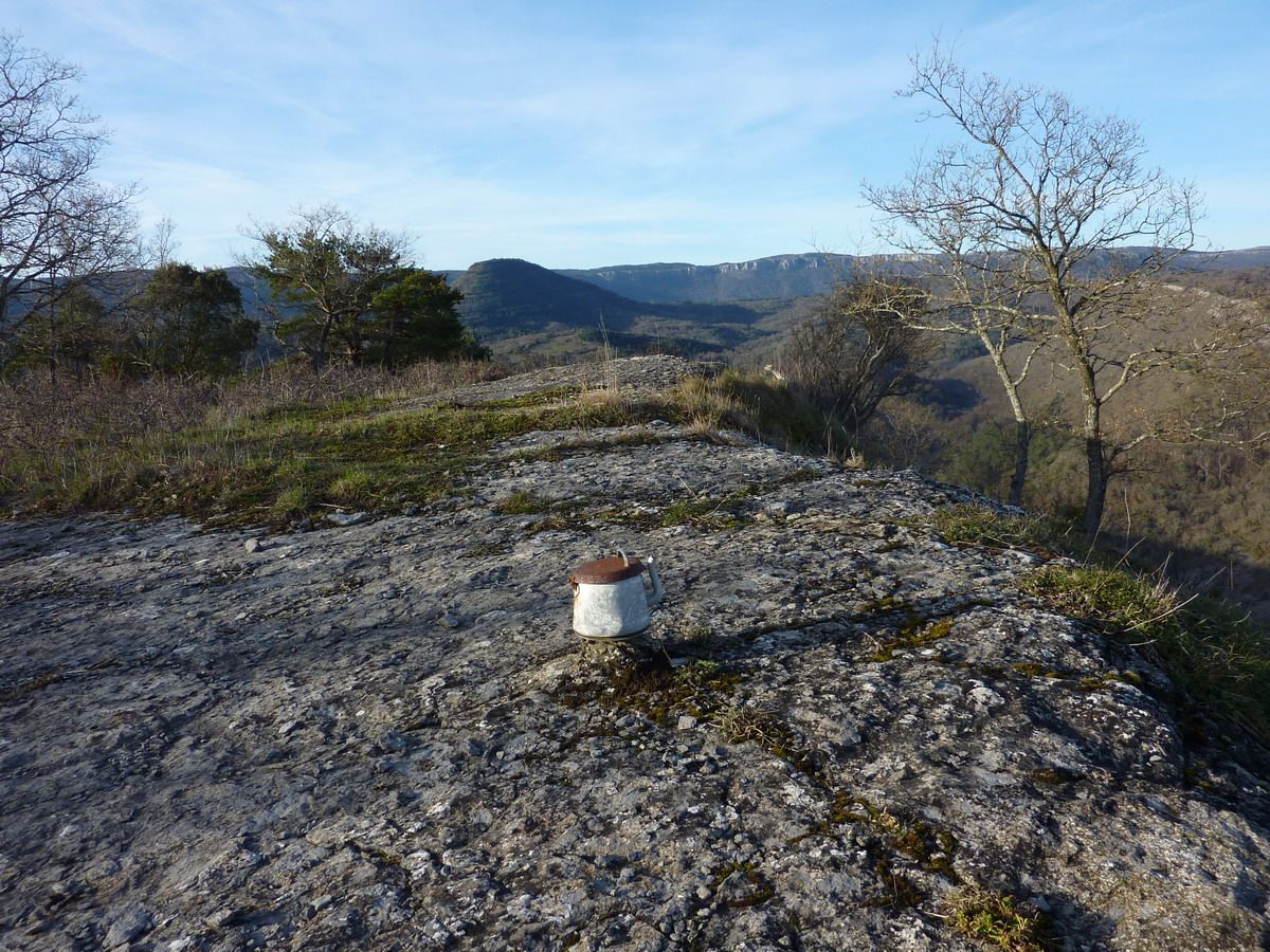
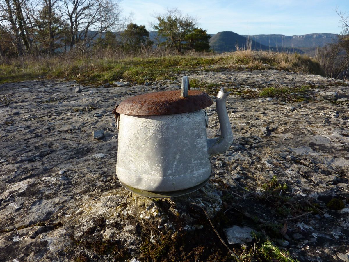
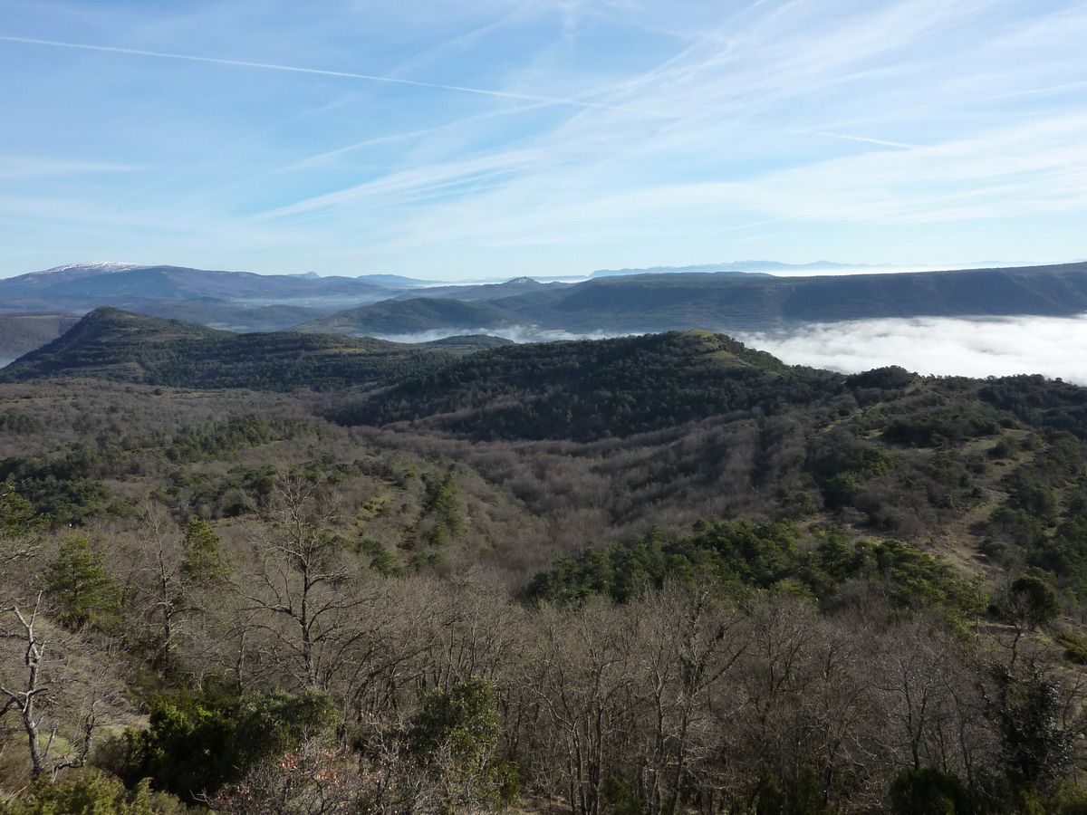
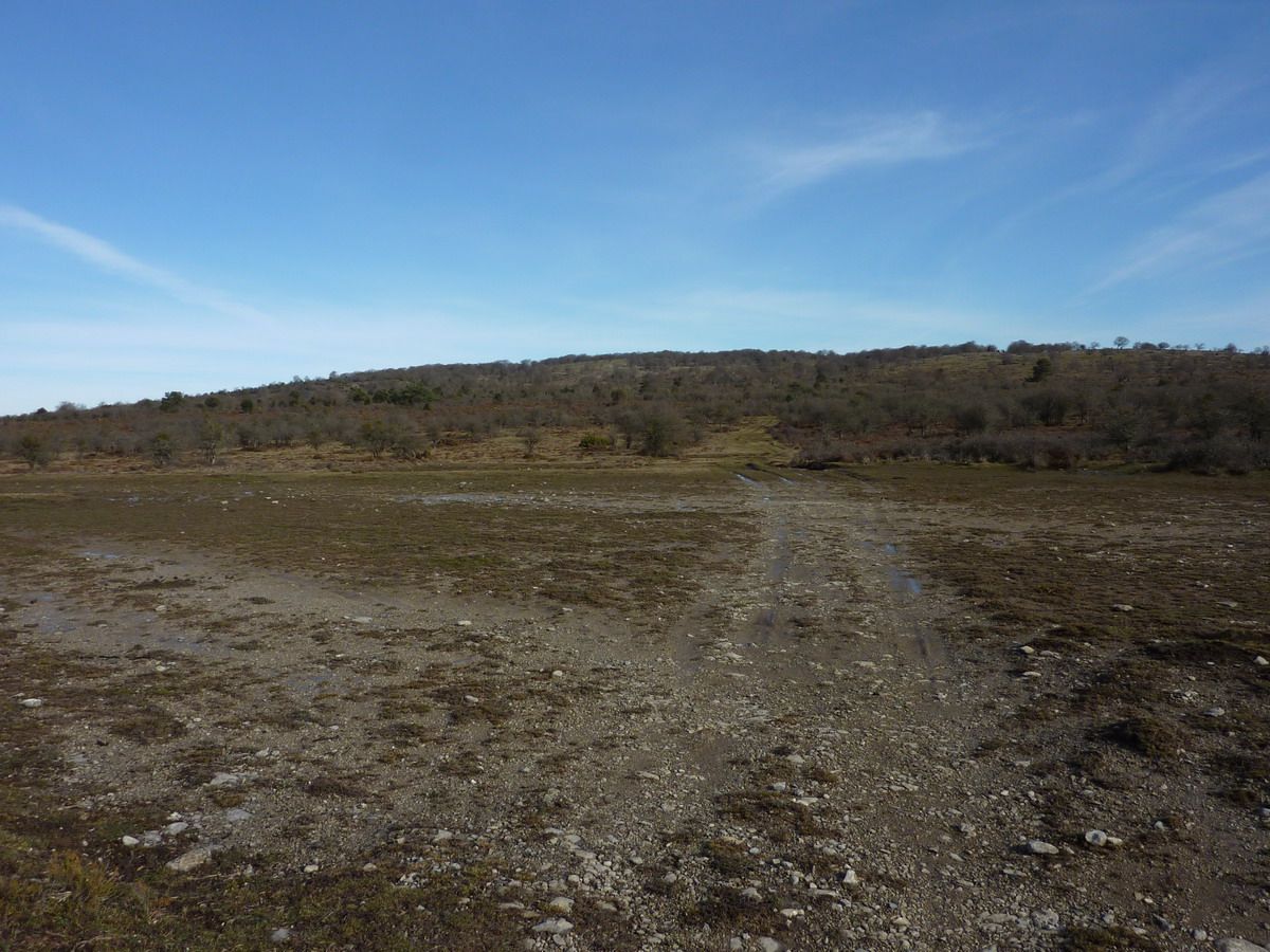
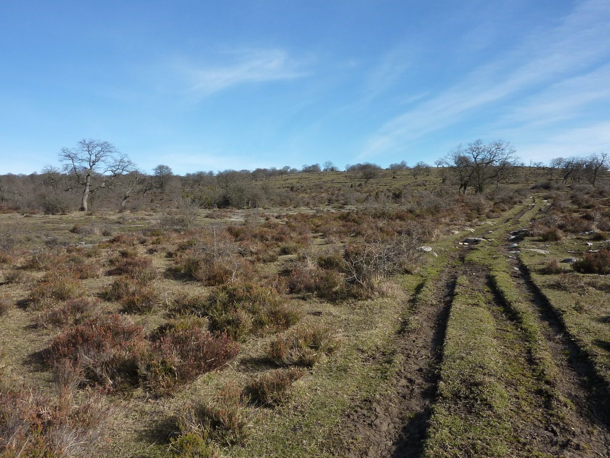
Following the weekend to be exceptionally good weather in February we went to Saibi. We had to go to Vitoria to eat at my parents house, and instead of going down the highway, why not go and stop Urkiola up to do a little family excursion to Saibi? Said than done! is an excursion of 5 km and 220m of altitude perfect for kids, with big cousin who never leaves home, with friends as an excuse to go after food around ... Come on, easily and with exceptional views from the top. The greatest difficulty?? Carrying your child in the BabyBjorn ... (have to switch to another type of backpack ya!)
Tour:
On paper
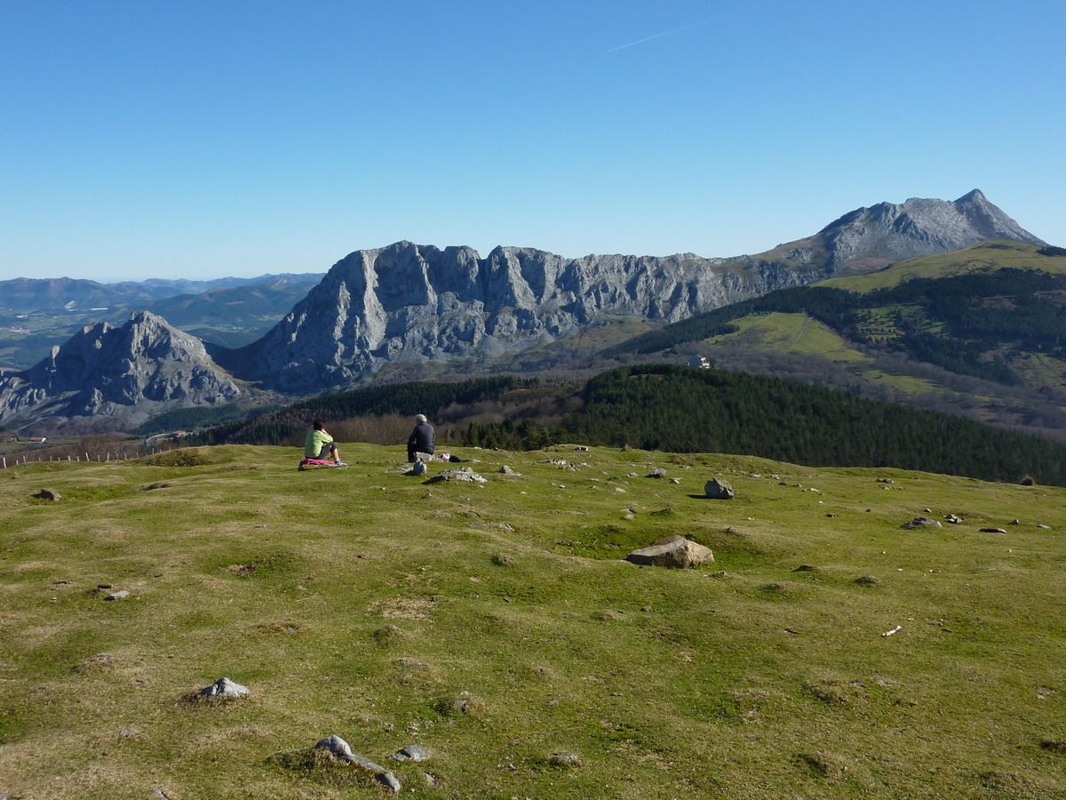
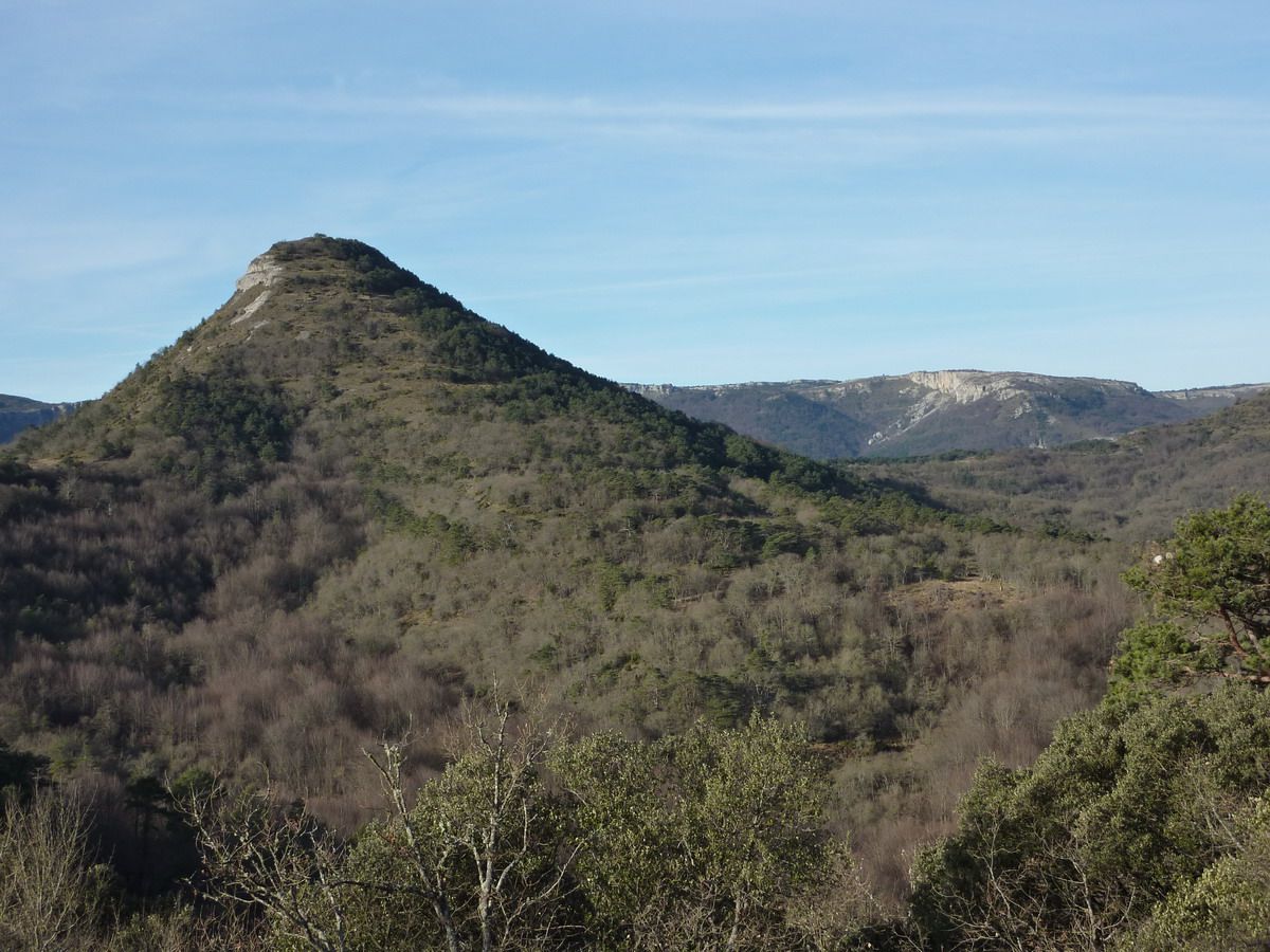
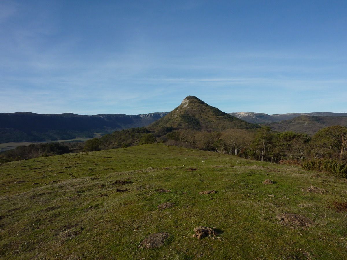
More information: Area: Access Park Urkiola: Alto de Urkiola Summit: Saibi (946m) Travel Distance: 5.10 km ascent: +222 m
A little history ... (from Wikipedia) In the winter of 1936 the northern front was arrested in the watershed between the Mediterranean and the coast. Álava remained in the hands of the rebels against the legitimate government of the Second Republic Immediately after the coup.
The front line passed through Saibi and going to the summit via the Besaide Udalaitz. The stay against militants advocated by different political groups and centralized control in the town of Elorrio.
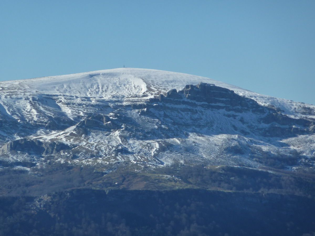
Saibi The summit was a strategic point for access to master Urkiola Vizcaya, which historically has been one of the major steps between the plateau and the province. The fascist army aided by aircraft bombed positions Saibi mountain by day and ground troops even reached its peak a few times. At night the militia regained the ground and strategic Saibigain summit.
On April 5, 1937 there are skirmishes on the road between Ochandiano and Urkiola, the day after the insurgent troops take Urkiola and the Regiment of Navarre attacked the positions loyal Sabigain that were defended by battalions Meabe 2 and González Peña . On the evening of that day have taken Saibigain Requetes and Republicans remain Urkiola and the top of Urkiolamendi.
On 7 April, the rebels occupy the Azuntze hill at the foot of Amboto across Urkiolamendi. This progress is made by the Third Oriamendi starts taking Urkiolamendi from the southeast while Republicans abandoning Urkiola retreat that is occupied by the Third San Ignacio. At dawn on 8 Urkiola area from Amboto to Sabigain is in the hands of the rebels. On 12 la2 Asturias Expeditionary Brigade attacks Saibigain fascist lines and reach the summit succeed in making the 3 rd Battalion withdraws San Marcial. The next day the battalions are super-duper and Sicily Mountain Battalion to evict militants from the strategic Asturian mountain.
The Sabigain rests with the Battalion Flanders No. 5 back in the early hours of April 14 before the attack battalions loyal Sabino Arana and Disciplinary which are reinforced by the Salsamendi made by militants of the PCE and the battalion Garellano are made strong on the mountain. The next day the attack and take requetés Thirds, after a long and bloody battle, definitely the place. [1]
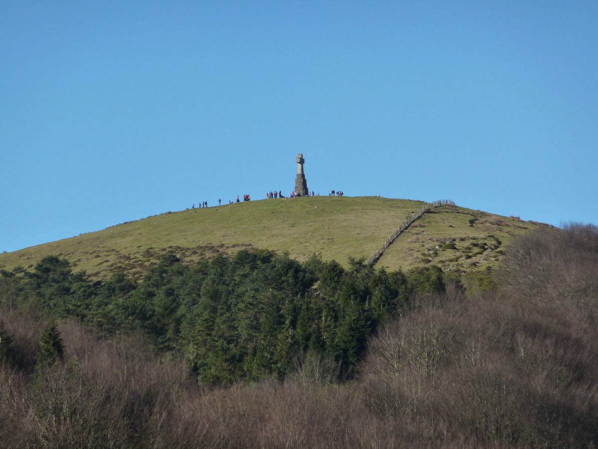
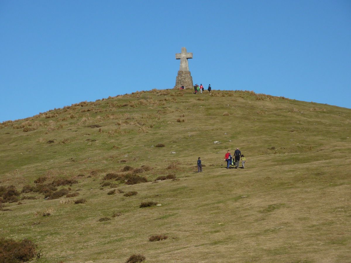
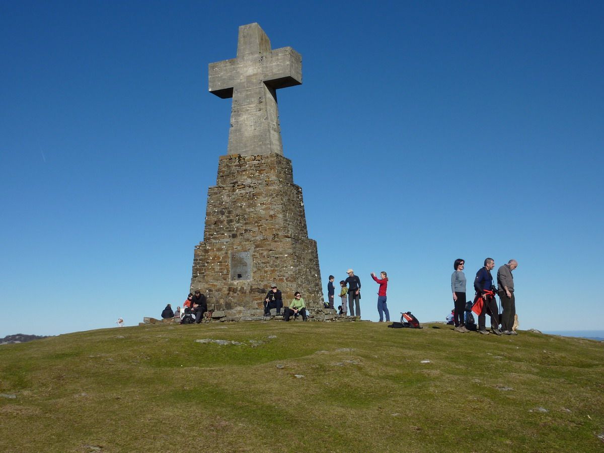
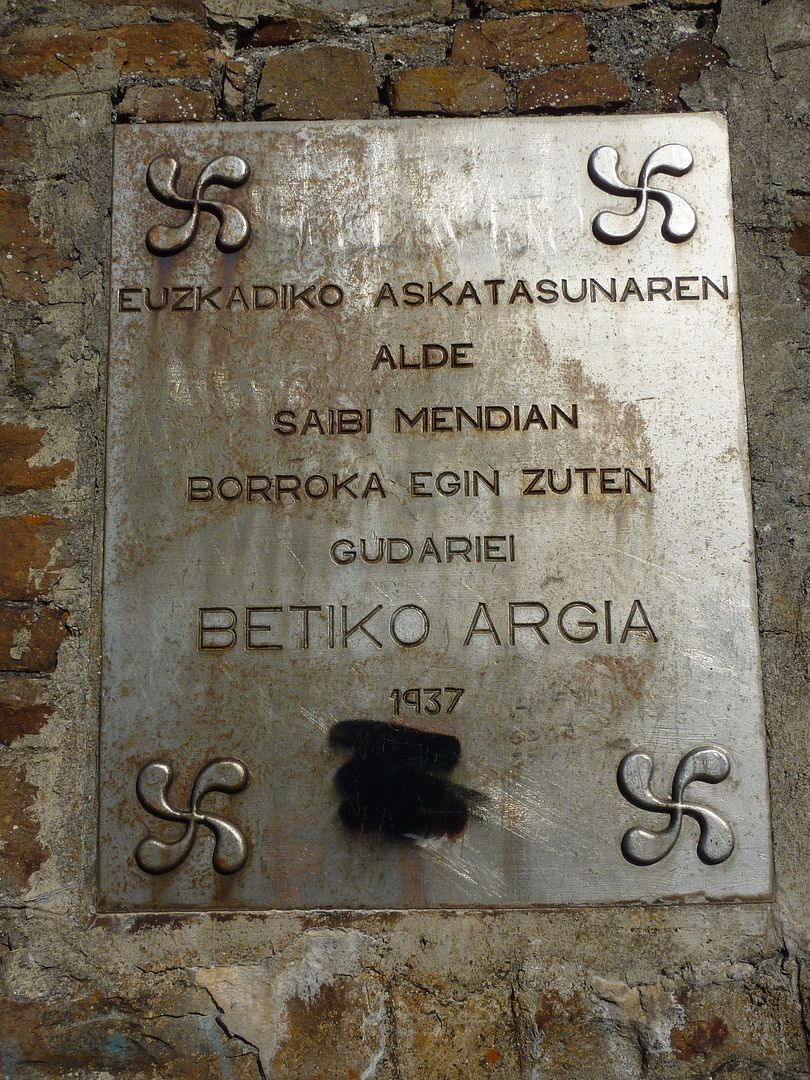
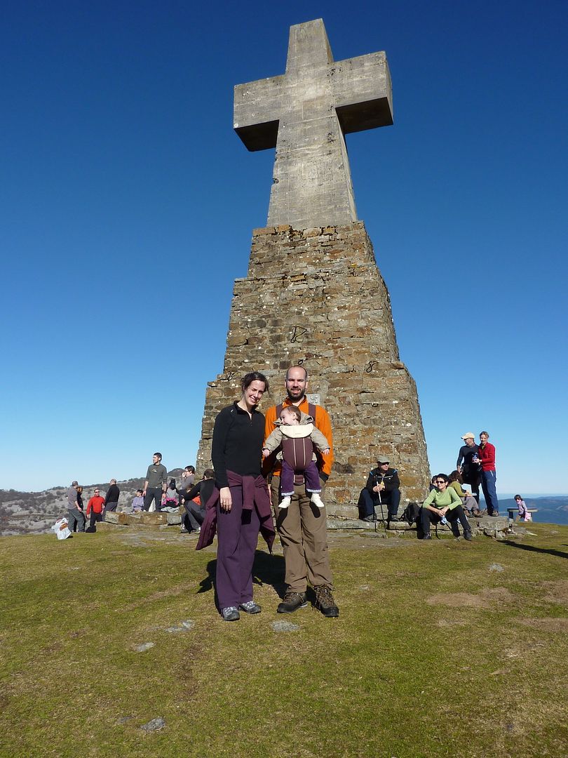
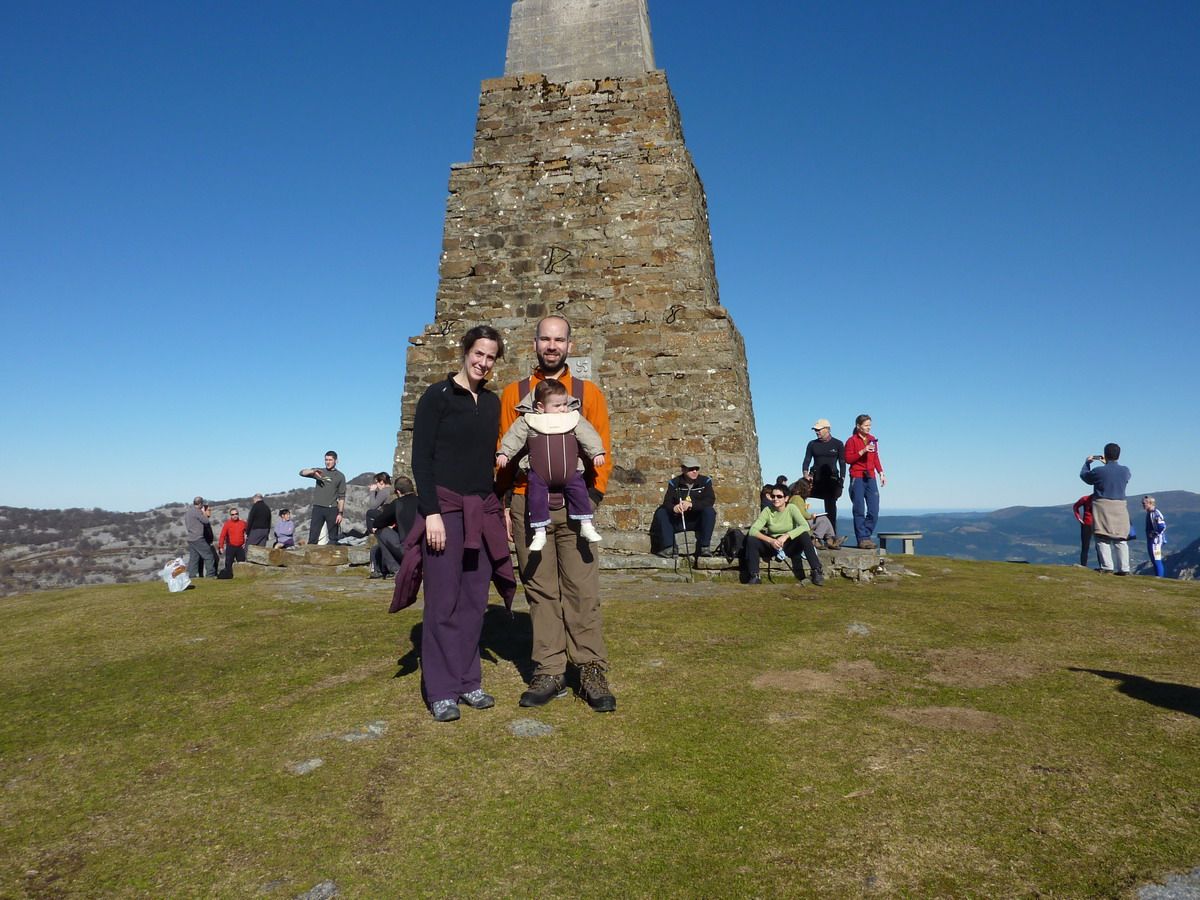
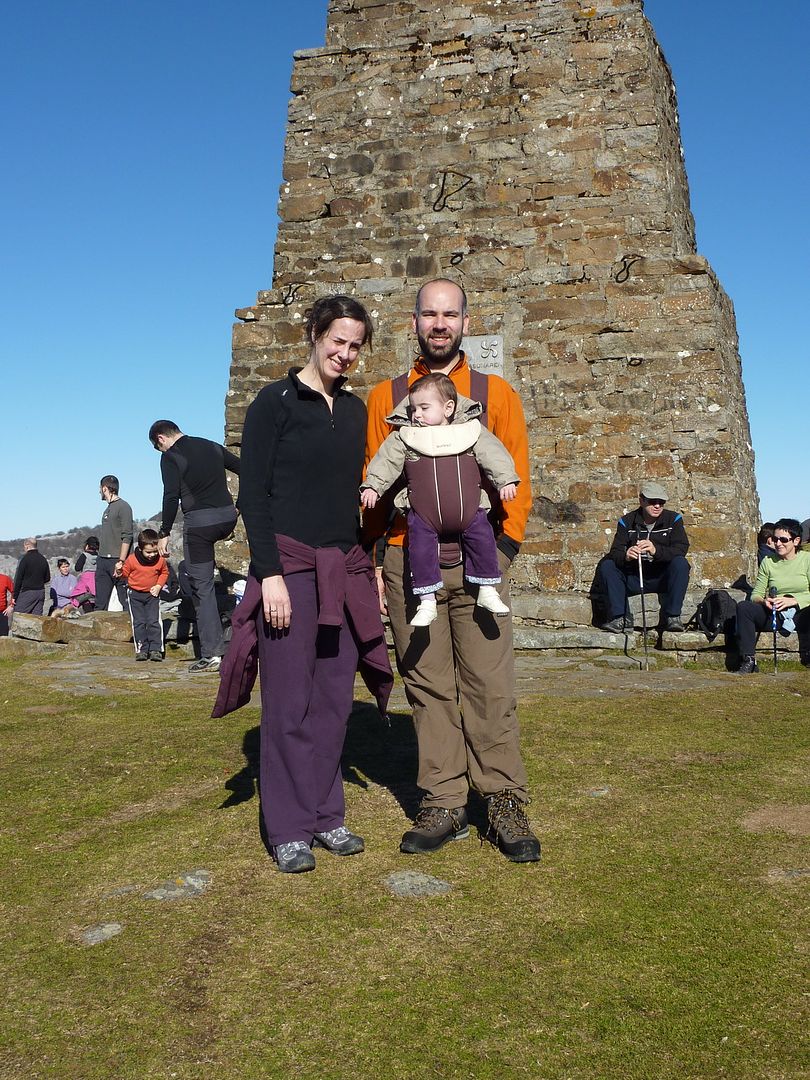
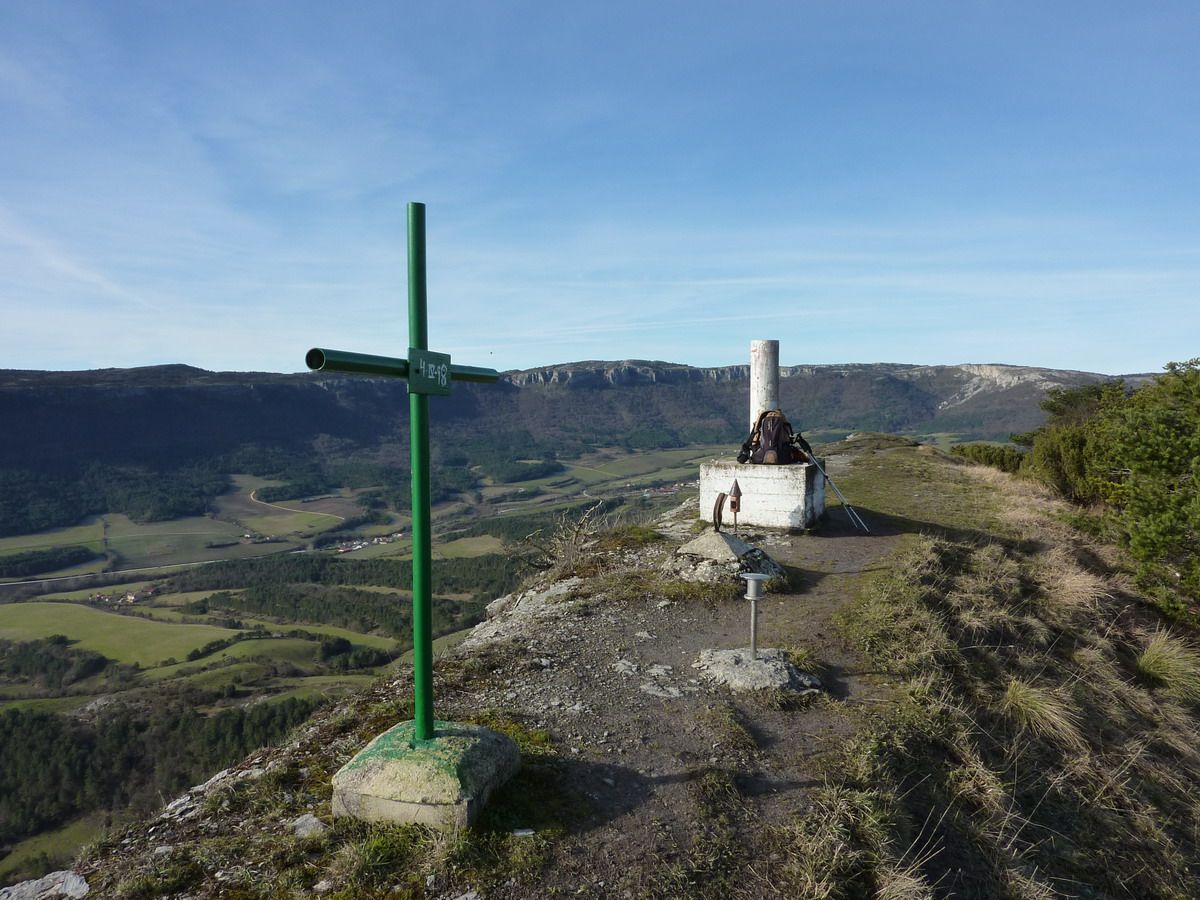
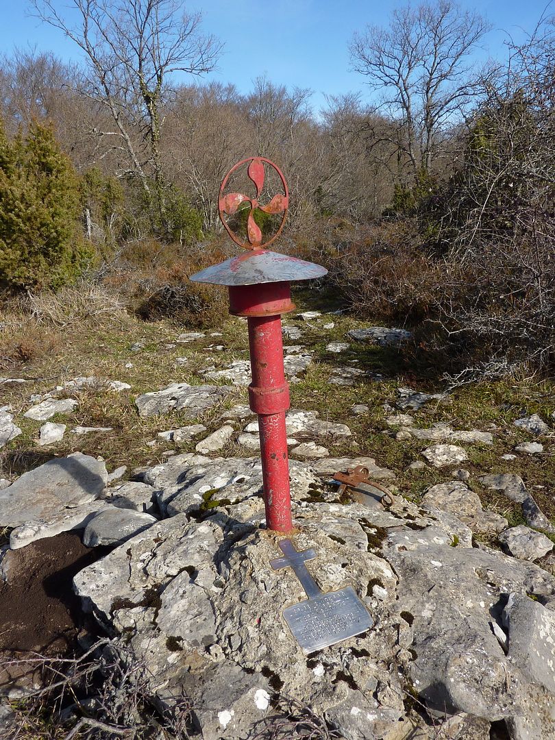
were many, from both sides, those who fell in these battles. When the war ended the victors built a large stone cross in memory of their fallen in the battles that took place there. When the dictatorial period ended and democratic freedoms were recovered in 1976, placed a plaque on this cross in memory of defenders of republican legality and liberty. Witnesses
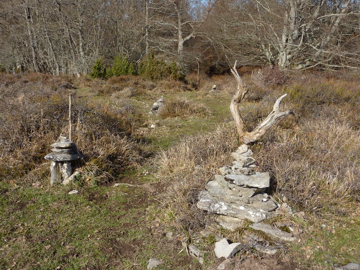
those battles are the countless holes that produced the bombs in the southern foothills and the remains of trenches that were constructed to defend the summit. We
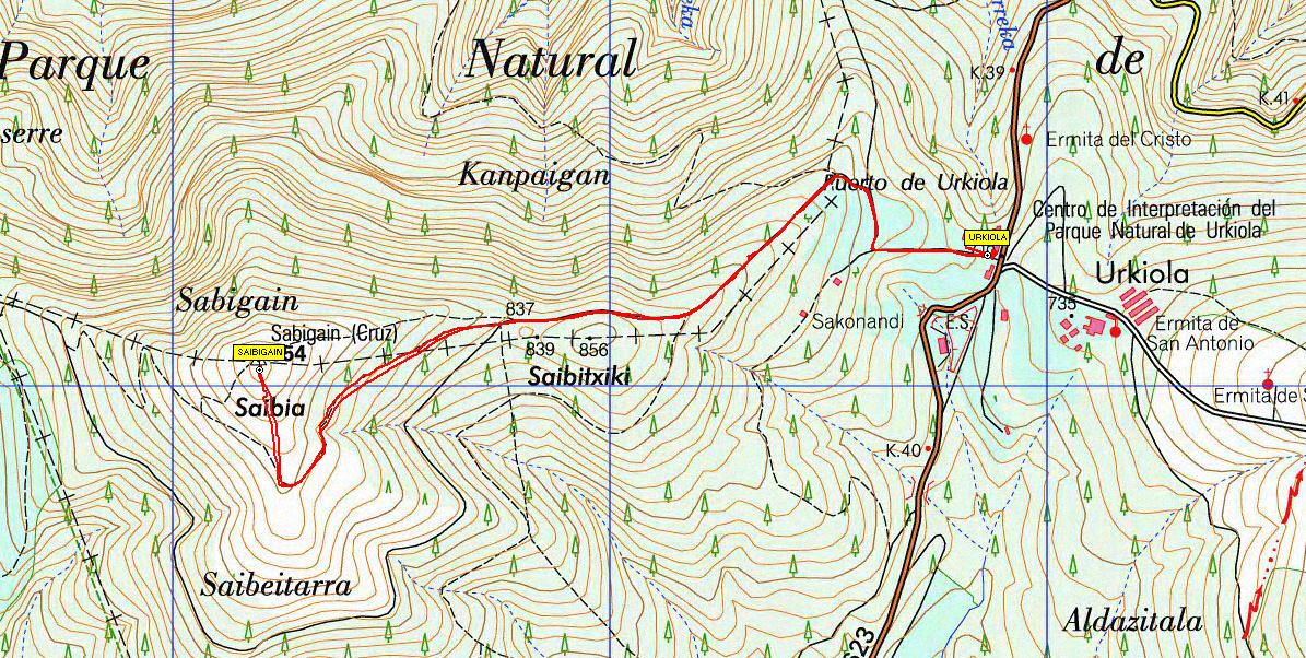
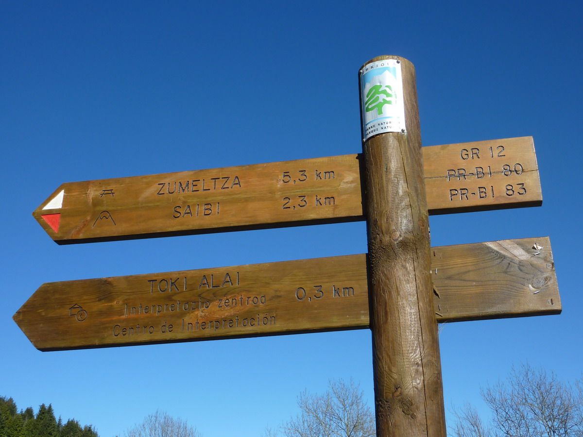
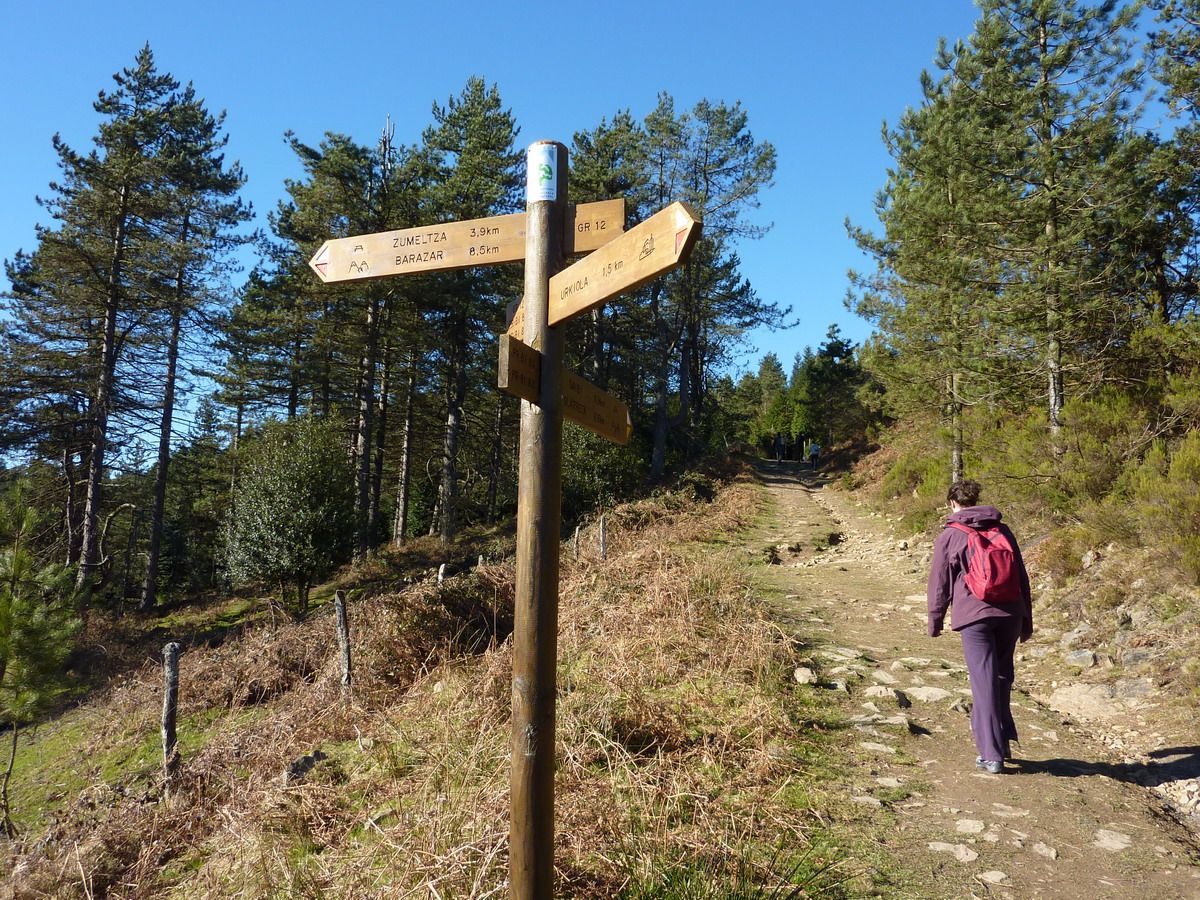
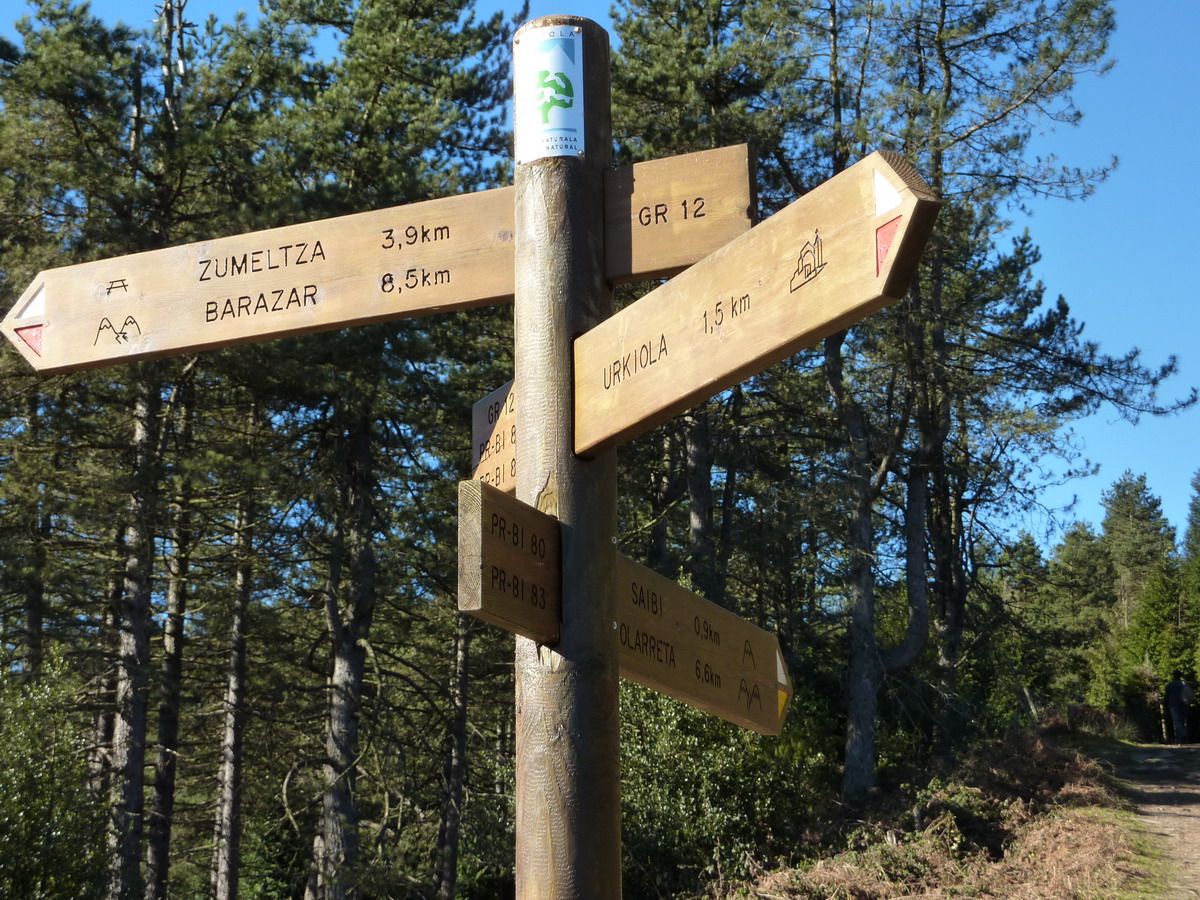
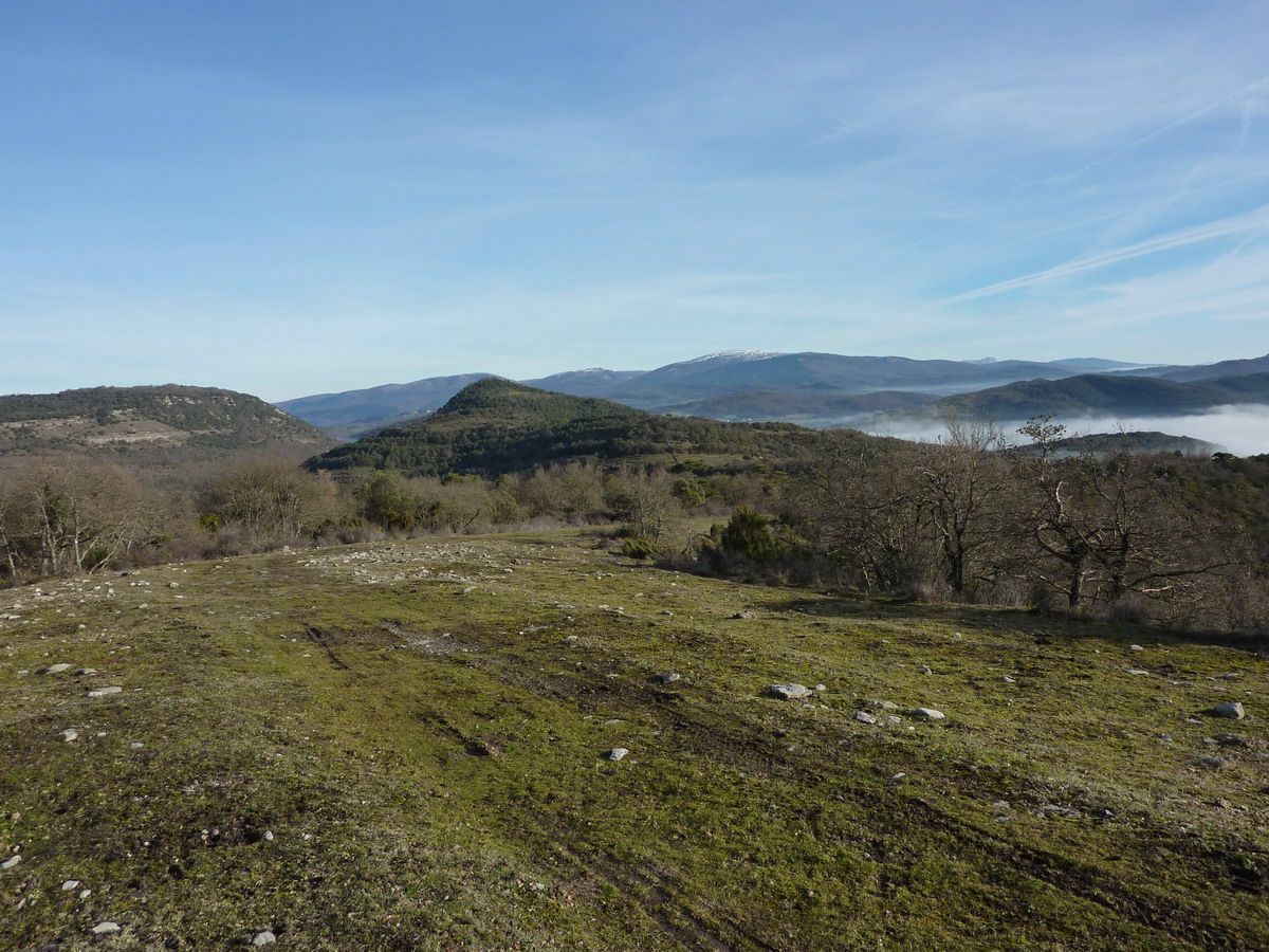
with photos ... I say you can not miss it, park and follow the signs Urkiola
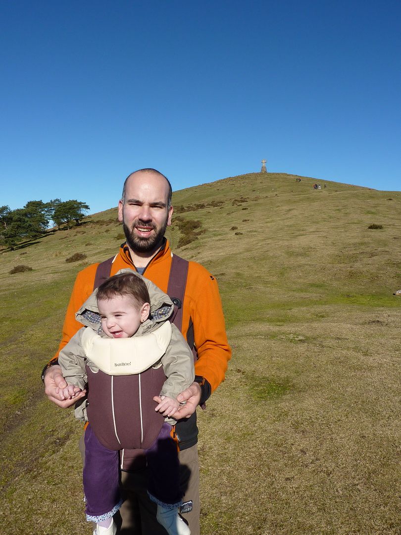
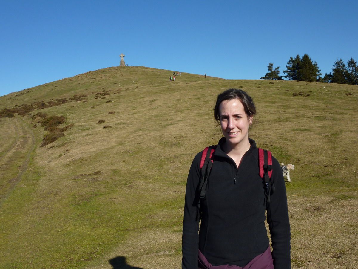
Here father and daughter at the beginning of the tour we Alli ... seems that there are people and we will not be alone ...;)
8kg back along, but before ... ufff ...;) That if I love the picture
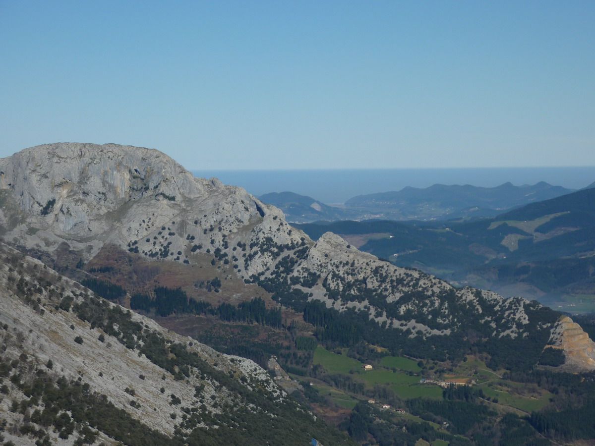
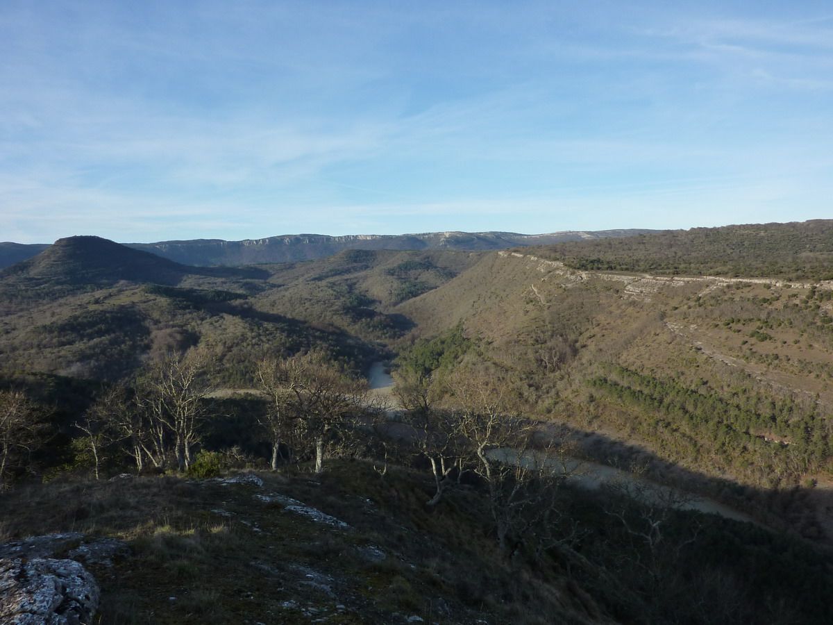
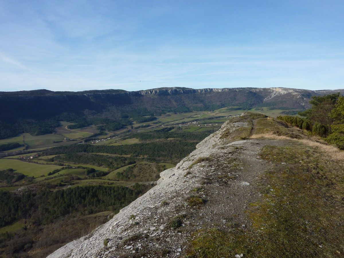
Mugarra Untzillaitz left and right and bottom, the sea, Urdaibai
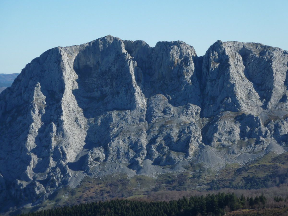
limestone Untzillaitz Mole (must Back to Great Diagonal ...)
I said, road marking and no loss perfectaente ... Hey! Wait for us!
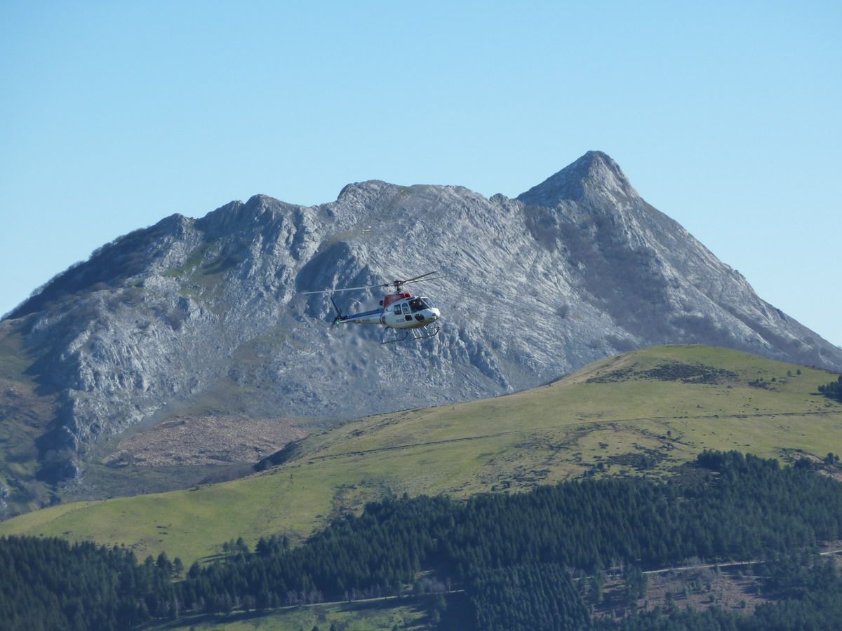
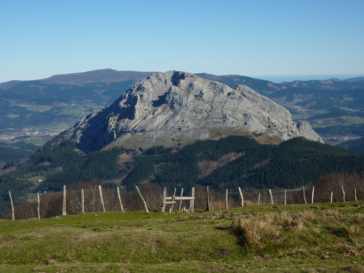
Gorbea and company
zoom Pulling
already reached the cross
That desire I have to take off the fleece. .. and you stop laughing, sorgintxu!
Well, that also amatxu out, no?? Ainsss ... and a smile for the photo?
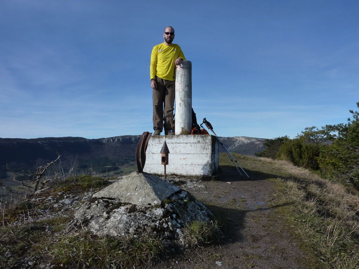
And we're already up. And freak with views! If I had not fed him qeu the smallish, was the day to have stayed up to live ...
And this?? Although the photos are not appreciated just stood over the top a. .. hello! I guess that would be of practical- maneuvers
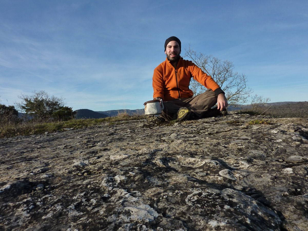
If Snapshot = If Cima. Family Photo
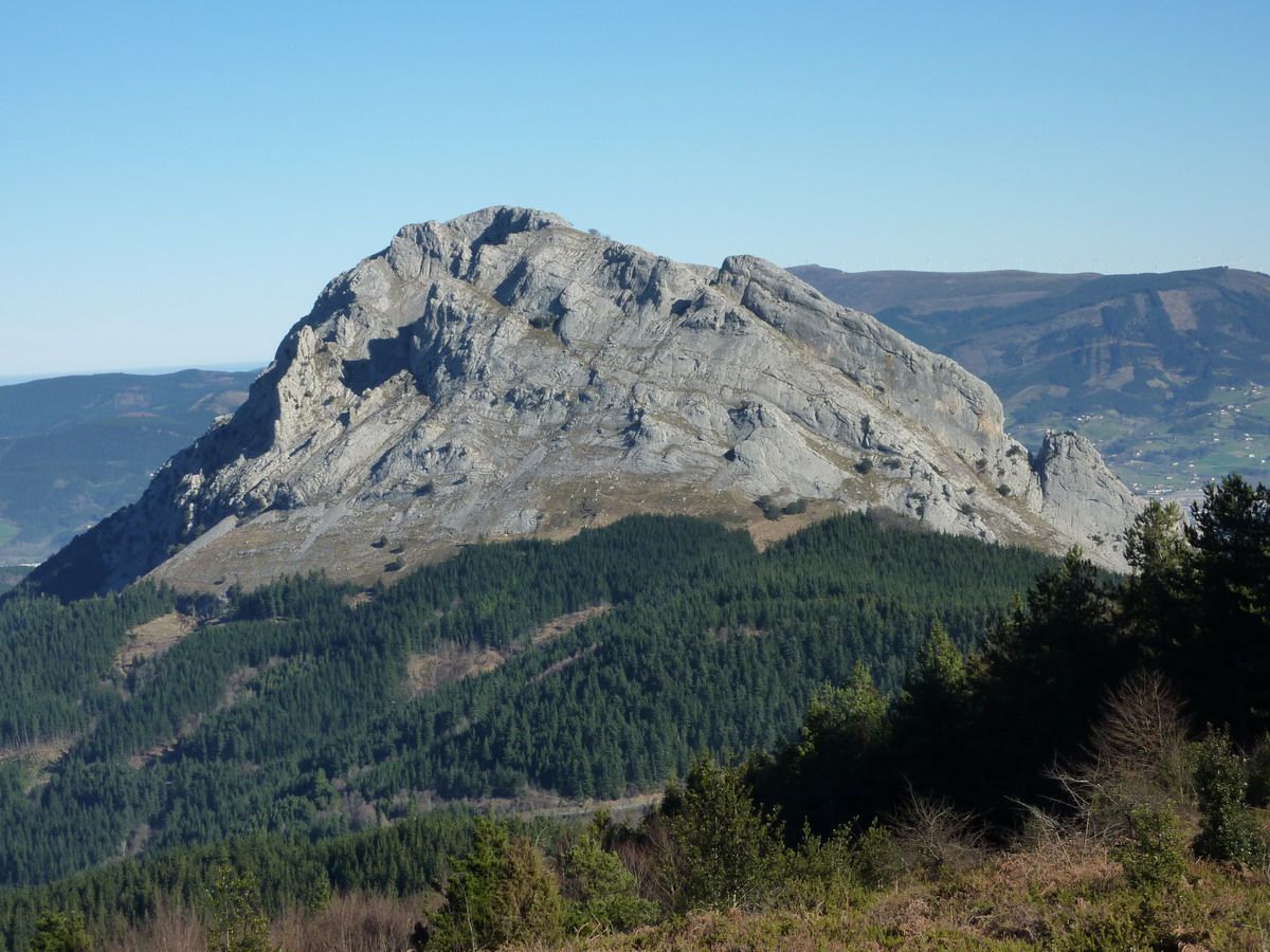
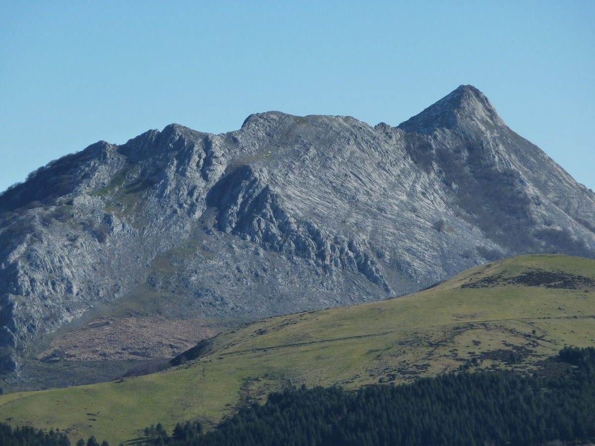
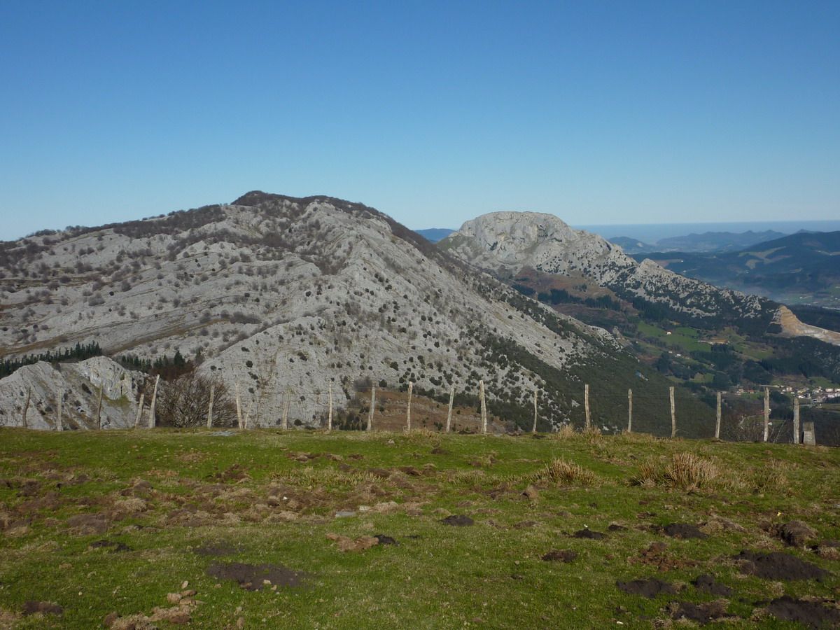
And freak with views. Alluitz-Anboto
Alluitz in more detail Anboto in more detail
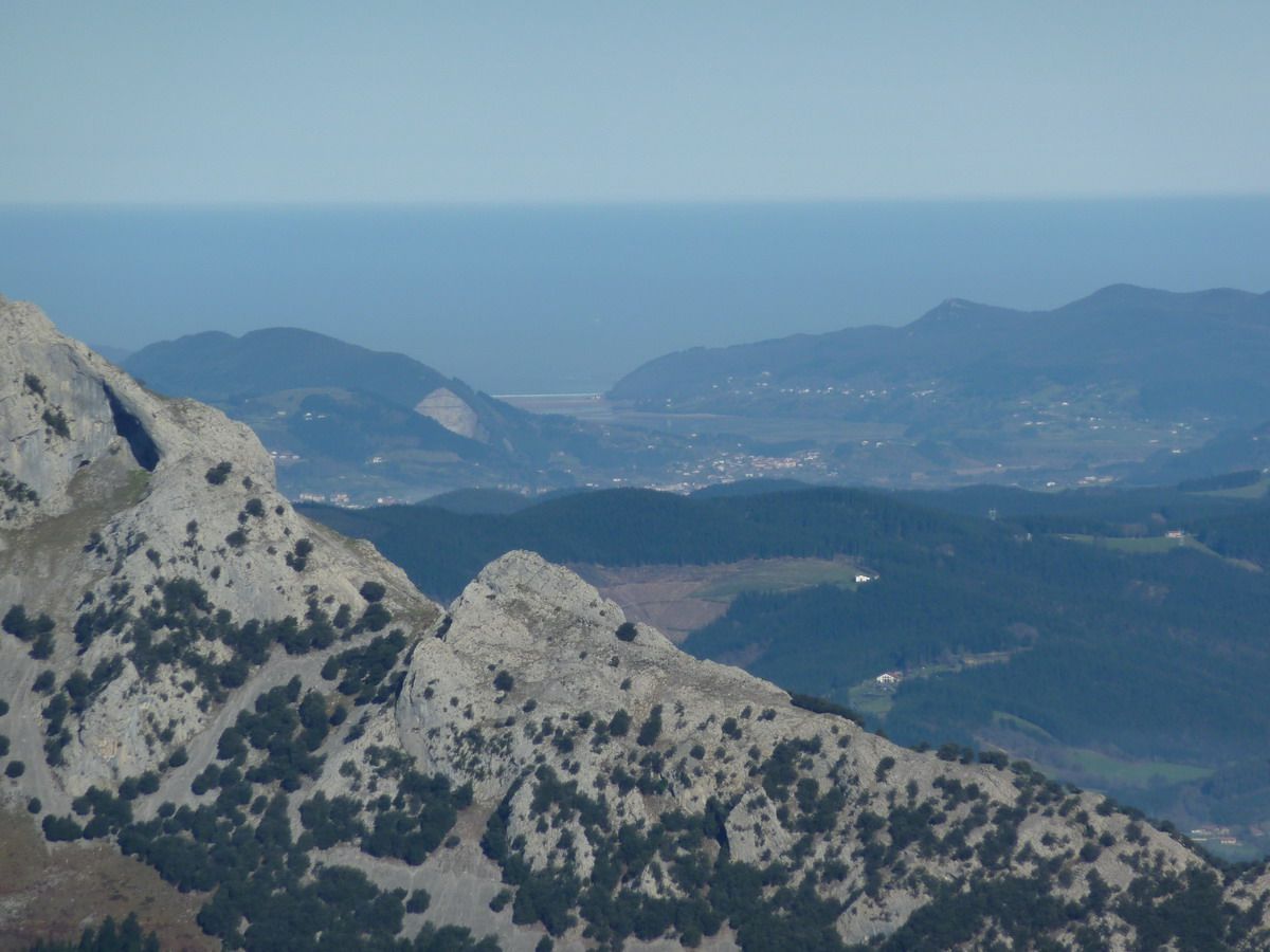
Untzillaitz Mugarra and bottom Urdaibai
zoom Pulling
Errialtabaso in the first place and behind Mugarra Untzillaitz and Astxiki
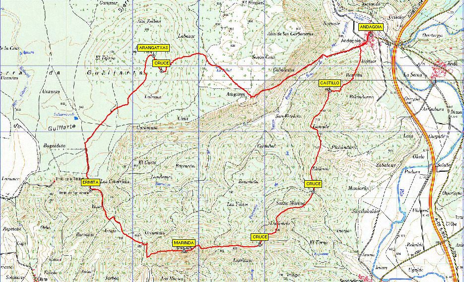
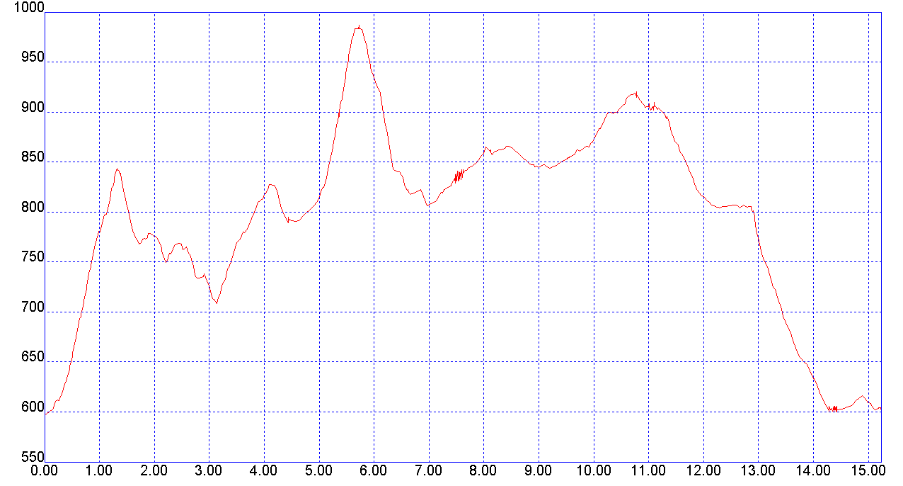
announcing Spent some time I decided to make an early-morning and saw Gibixo and learn a little more than the mountains of Alava.Para it based on me repors of July and Rota (I actually think that followed the July track ...) Tranquility absolute, and in fact I only intersection with a pair of climbers while descending from the summit of Marinda and another pair Arangatxas road. The truth is that the profile imposes Marinda and find the mailbox of Arangatxas, is that, especially if it is a foggy day or miss the milestones ...
Tour:
On paper
More information: Area: Sierra / Massif Gibixo (Araba) Access: Andagoia Summit: Alto del Castillo ( 823m), Marinda (984M), Arangatxas (923m) Travel Distance: 15.20 km ascent: +700 m
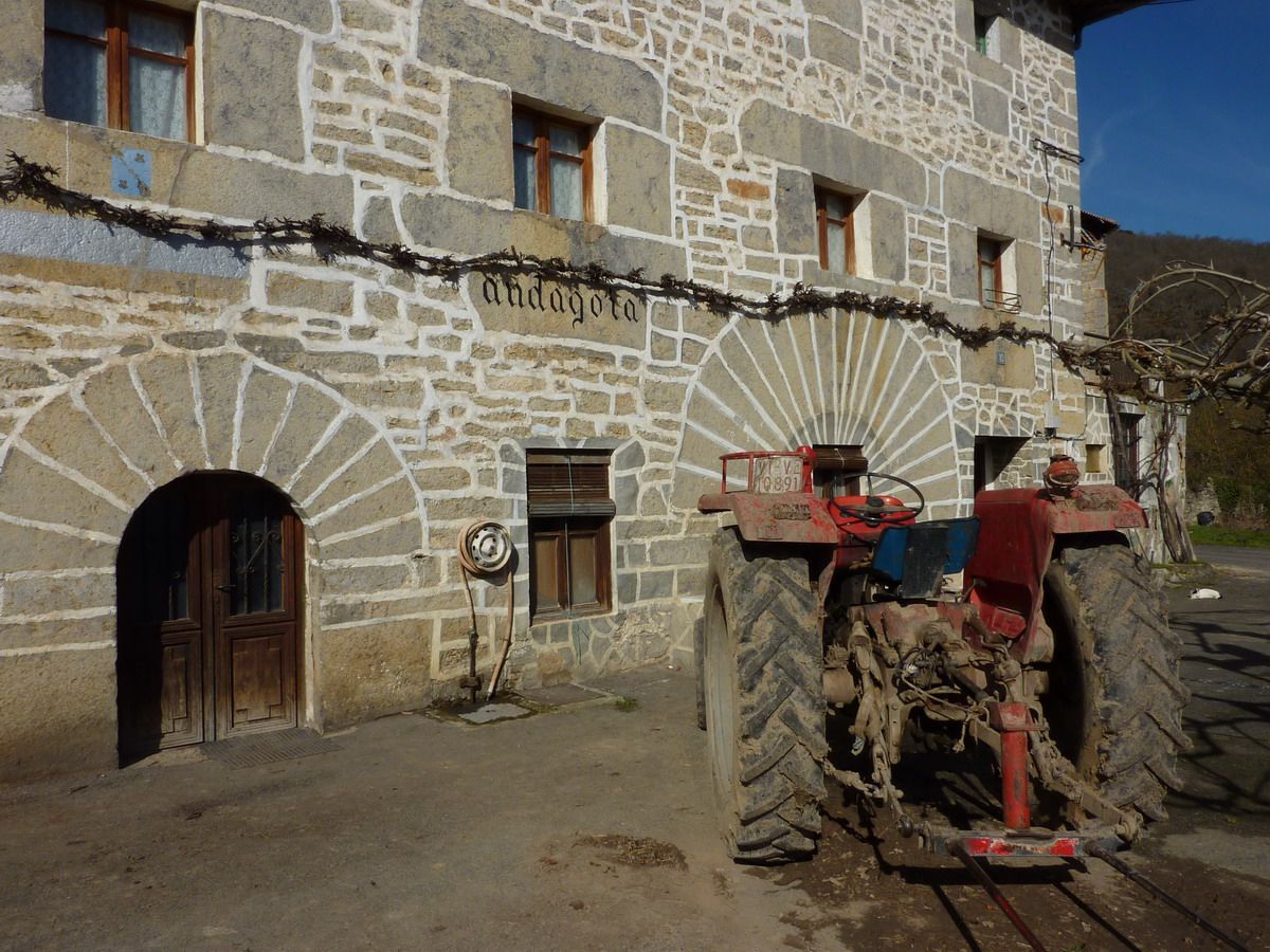
with photos ... At Andagoia, one of the two "native" (at the end they are seen in a photo) came to inspect the car that came to town and he had no control. After receiving his blessings on-site parking route me to the end of the village
The truth is that even cool morning (and I started to walk at 9AM), the day promised and it seemed that the fog I am upset if the views ... What if I could annoy the era when I was one of these ... And as the saying goes well ... which Forewarned is forearmed.
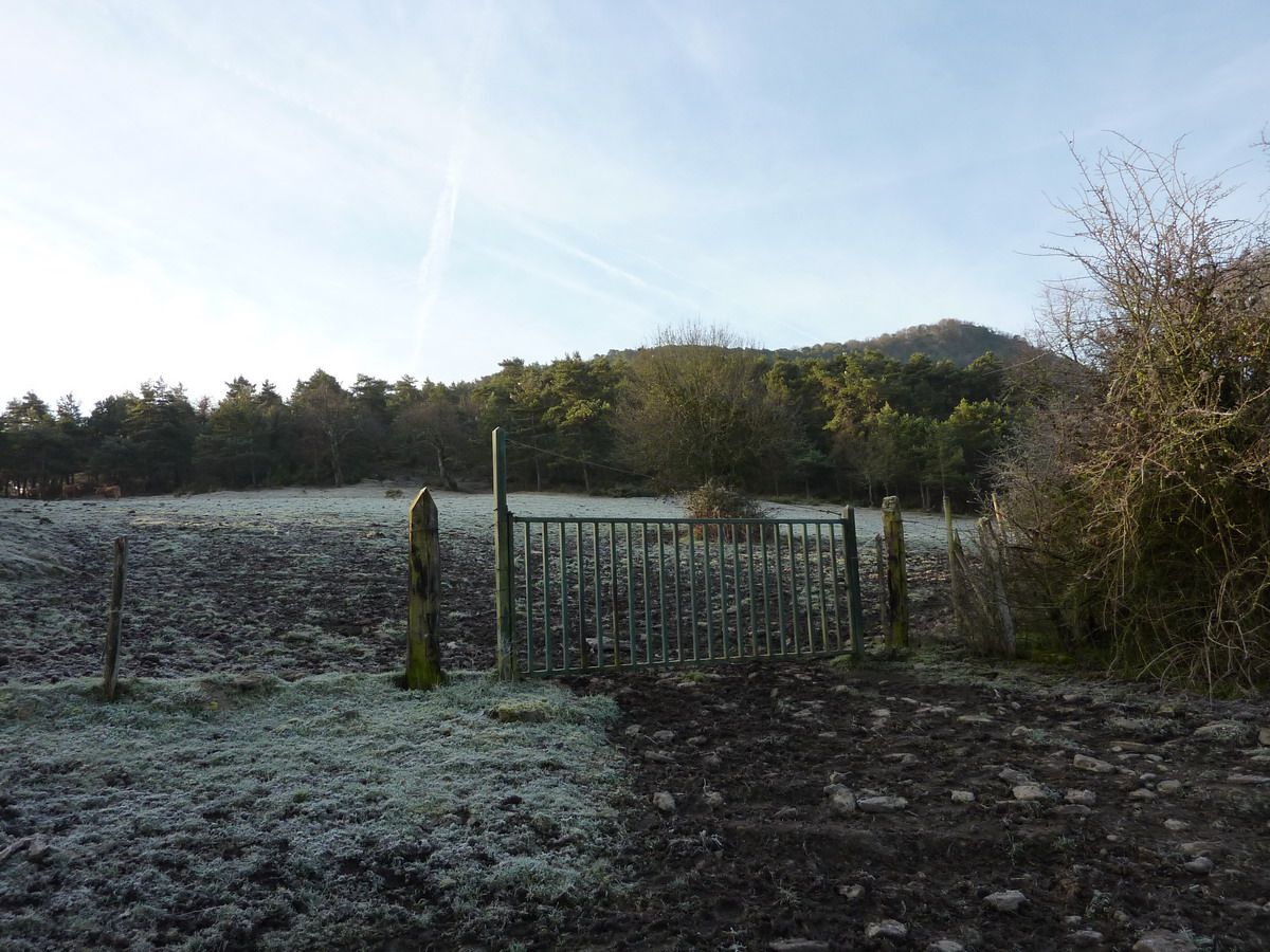
need to cross the fence and through this campaign. Thank god it was cold, because if not, the barromierding (as then tapped me on the descent on the other side) would have been curious ...
and into the woods, the trail is well marked, and the theme has not lost all pa'arriba
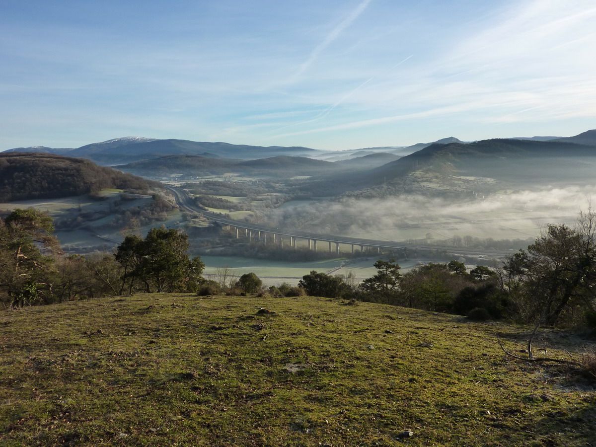
clear is reached where the A68 motorway is going to Miranda de Ebro
And coming to the mailbox of the High Castle is Andagoia village down there.
Buzon Alto del Castillo (823m) in the bottom Marinda
If Snapshot = If Cima.
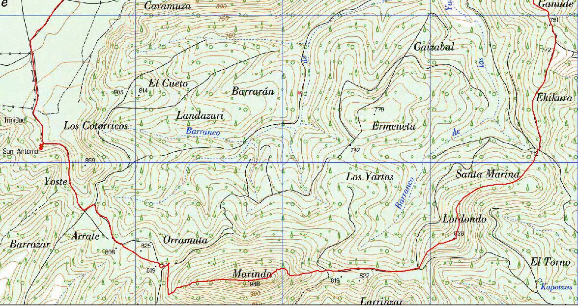
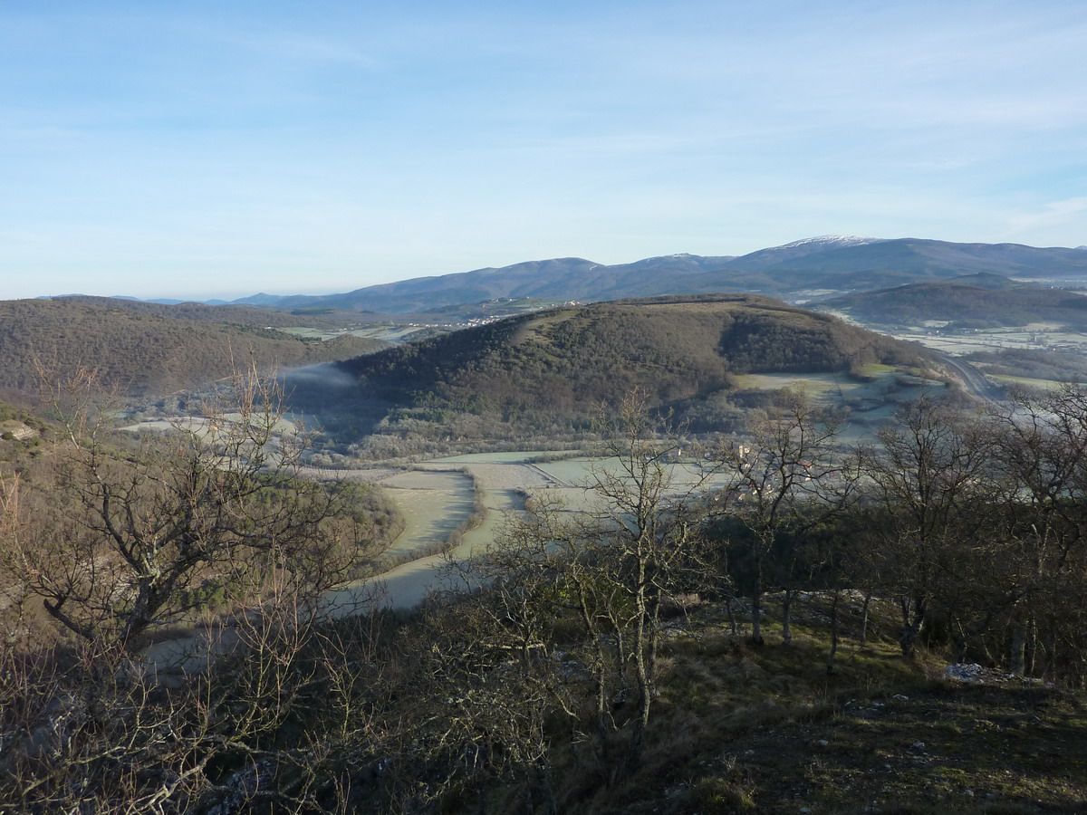
Marinda to the left, right and Arangatxas substance, Sierra de Arkamu (among my goals for this 2011)
Pulling zoom ... that costs the Marinda going to make me sweat ...
The journey is comfortable and occasionally looking back should take (in the foreground Alto del Castillo and thoroughly Gorbea)
Another Marinda and bottom of the Sierra de Arkamu
And tucked into the tomato up the hill ... take the excuse of taking pictures to catch aire.Ainsss ... that I'm fat! As they weigh the excesses of Christmas and January inactivity ..
Alto del Castillo in the background and travel all the way up to the Marinda
"Plateau" Sierra crest and the bottom of Arkamu
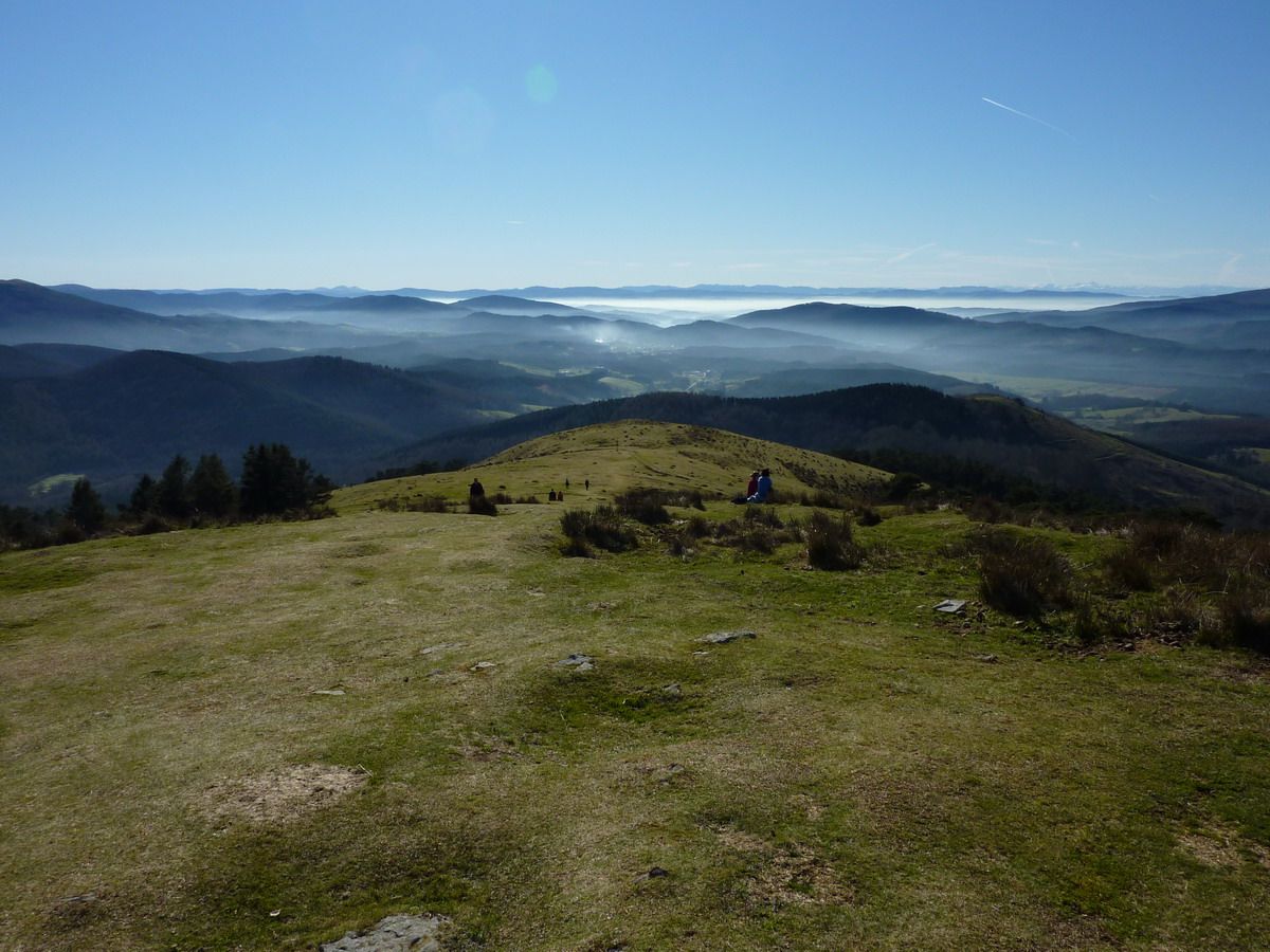
appears that the valley is not over the fog lifting
Top of Marinda (984M)
If Snapshot = If Cima (with the shirt of the Cursa dels Nassos 2010)
And walked a fair bit of time to return home for lunch (which is what you go slow and start to walk later), he hit the pace ... but of course if I put fences, not so good
On the way stop to have seen the hermitage of San Antonio (if that's a chapel I am the very same San Antonio ... seems more a cattle overboard)
Arangatxas But the road to soften and this allows me to reach a cruising speed that will improve my average. Also, hearing the hunters in the distance, I do not really wanted to walk the "prairies of Wisconsin" to see if I would be mistaken for a deer or a boar (which would not be worse, if the horns of one or Piggy other)
And thanks to San Garmin reaches the Arangatxas (923m)
If Snapshot = If Cima
And following milestones, we go to Andagoia
Andagoia there is substance and faces there we have the first summit this morning, the Alto del Castillo.
And kotxinero trotting down and trying not to fall in the barromierda, after four short hours I get to Andagoia map at a time that will allow me to be home to eat
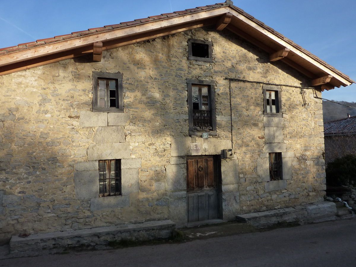
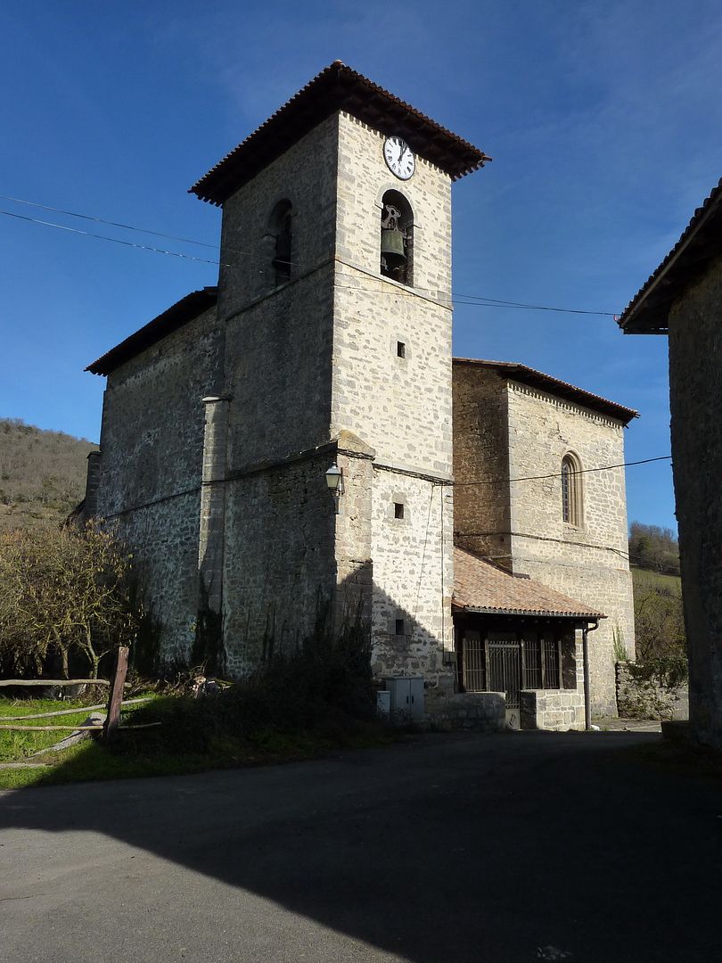
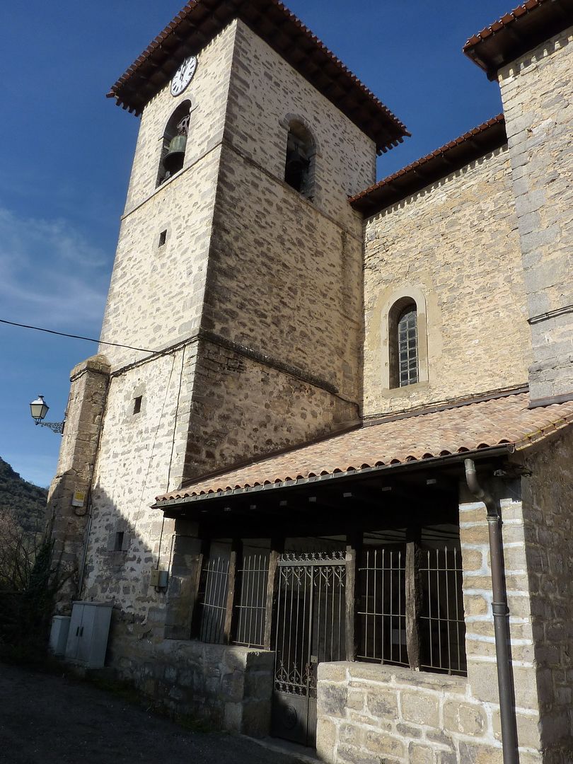
Church
and town square. Beware of "native", that of the beret is that this morning I went to meet ...
And that's all, early-morning by a very quiet and lonely that I recommend to everyone.